Sheikh Zayed City Extension Master Planning & Landscape Services

Project Description
The project is located at the western side of Greater Cairo, within the new extension of Sheikh Zayed city. The acquired land (500 acres) that is positioned at the edge of Zayed extension enjoys easy access from the surrounding main roads.
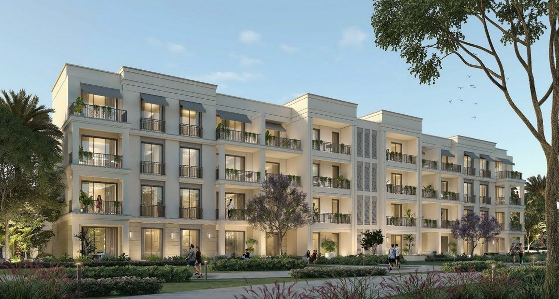
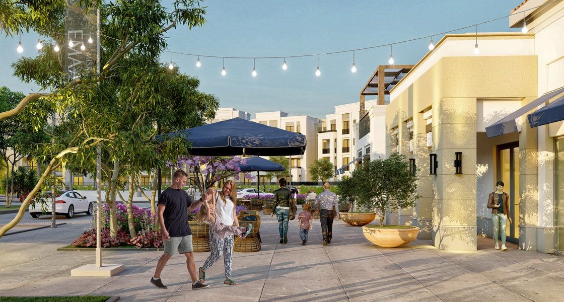
Emaar Misr develops a mixed-use integrated city that includes residential, commercial, retail, educational, business, sports, and medical components. The development is served with full scale amenities and facilities designed to maximize land efficiency. The city provides the best use of open spaces featuring leisure and sport facilities.
The project comprises the following components:
- 34 types of villas with a total BUA of 198,203m2
- 8 types of town houses with a total BUA of 29,217 m2
- 7 types of apartment buildings with a total BUA of 86,507 m2
- Sports area with a total BUA of 47,214 m2
- Medical components & retail units with a total BUA of 77,554 m2
- Educational area with a total BUA of 44,269 m2
- Client
Emaar Misr for Development S.A.E.
- Location
- Sector
- Project Status
Completed
- Share This Project